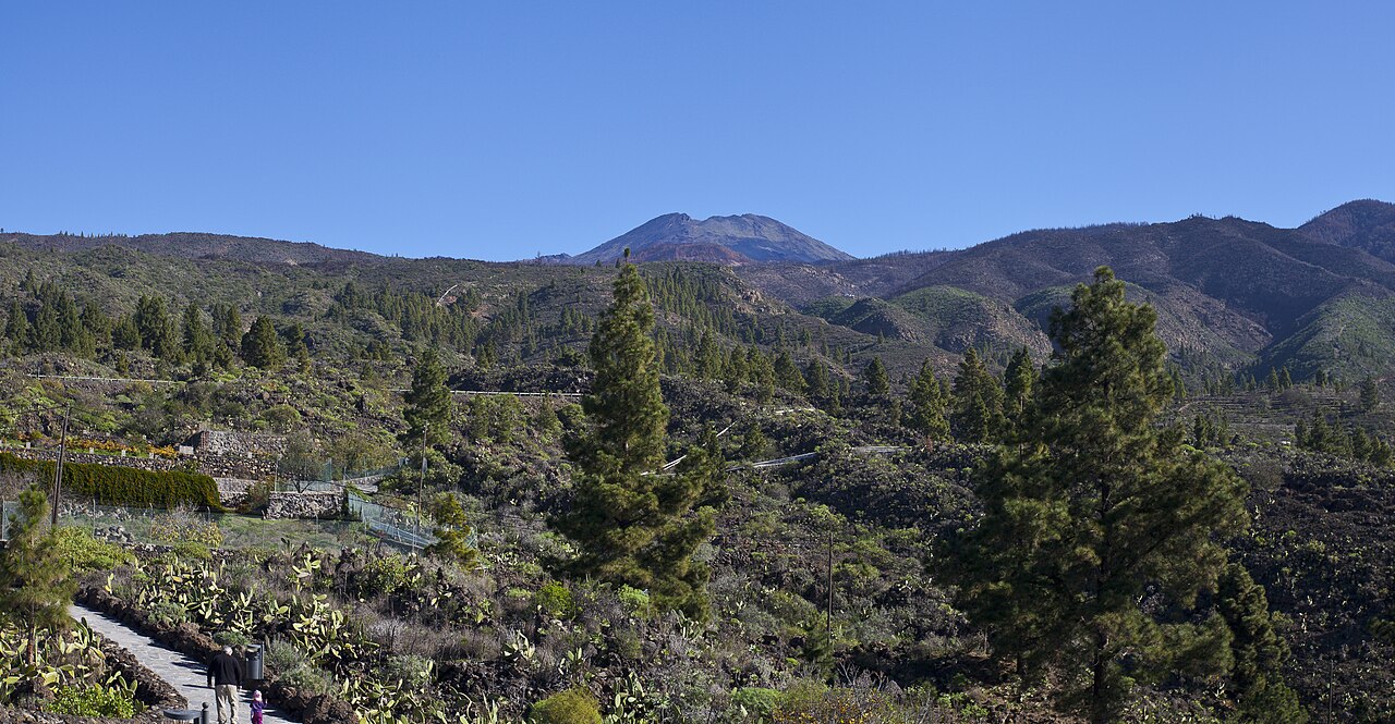
Teide from Chío
😍 BeautifulLight traffic
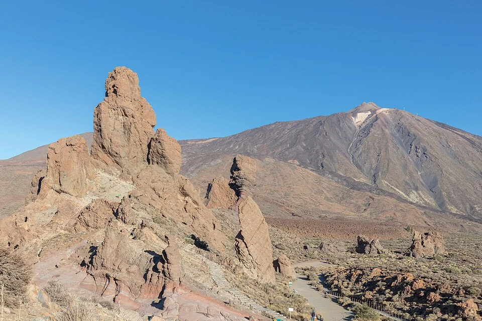
Compare five Tenerife approaches: Teide from Chío and Los Cristianos, Mirador de Cherfe from Masca, Santiago del Teide from Los Gigantes and Erjos from El Tanque. Choose a long Teide day or a western mountain-road outing using the actual starts and endpoints.
5 selected routes, from 3.8 km to 48.3 km, with 359 m to 2,457 m of elevation gain.
😍 BeautifulLight traffic
😍 BeautifulLight traffic
😍 BeautifulLight traffic
| Climb and approach | Distance | Elevation gain | Average gradient |
|---|---|---|---|
| Teide from Chío 😍 BeautifulLight traffic | 40.1 km | 1,738 m | 4.1% |
| Teide from Los Cristianos 😍 BeautifulLight traffic | 48.3 km | 2,457 m | 4.7% |
| Mirador de Cherfe from Masca 😍 BeautifulLight traffic | 3.8 km | 430 m | 11.3% |
| Santiago del Teide from Los Gigantes 😍 BeautifulLight traffic | 13.4 km | 828 m | 6.2% |
| Erjos from El Tanque 😍 BeautifulLight traffic | 4.5 km | 359 m | 7.9% |
These are two separate recorded approaches, rather than duplicate entries for one climb. The Los Cristianos track begins on the coast and rises through open slopes before reaching pine woodland above Vilaflor. Compare the total distance and elevation gain for both starts, then open the profiles to see how the work is distributed along each route. The Teide name identifies the cycling approach; it does not imply that the road reaches the volcano's summit.
Mirador de Cherfe starts in Masca and follows a narrow road through tight hairpins. Its short distance should be read alongside its average gradient, rather than used as a shortcut for judging the effort. It is a separate mountain-road climb, not a shortened Teide approach. The route profile helps distinguish the selected ascent from the descent into Masca or a longer outing that includes both.
This ascent starts near the western coast and finishes in Santiago del Teide. It is shorter than either selected Teide approach, with steeper early sections and a gentler upper part. The saved profile ends in Santiago del Teide; it does not include a continuation into the Teide national park.
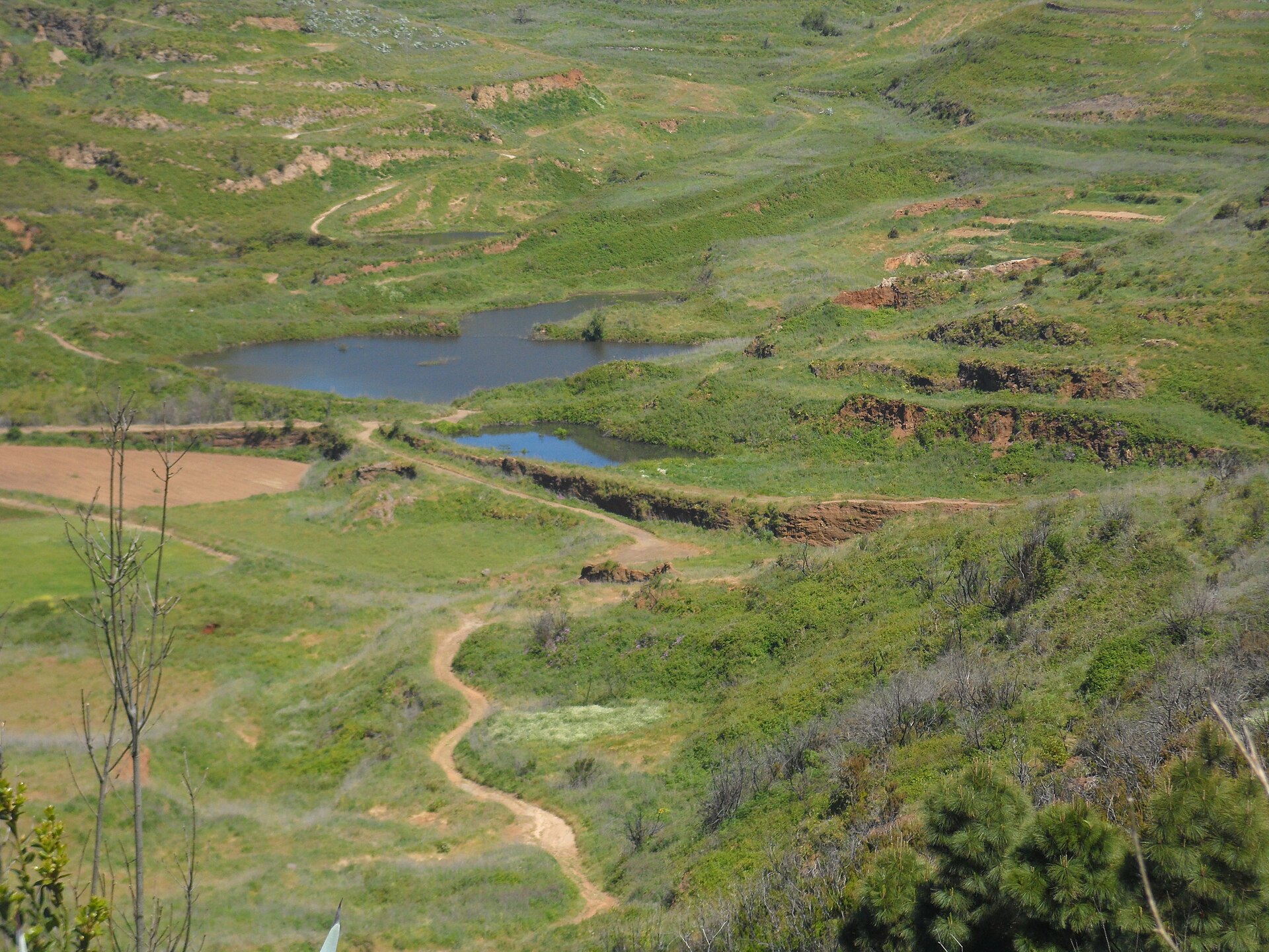
The Erjos profile begins in El Tanque, above the northern coast. It is a different start from the official tourism circuit out of Garachico, which first climbs to El Tanque before continuing over Erjos towards Santiago del Teide and Masca. Include that lower approach only if it is part of your chosen outing.
Average gradient describes the recorded route as a whole. Open a climb to see its elevation profile and how the gradient changes along the road.
8 climbs · Asturian summit roads, Bola del Mundo near Madrid and Hazallanas in Sierra Nevada.
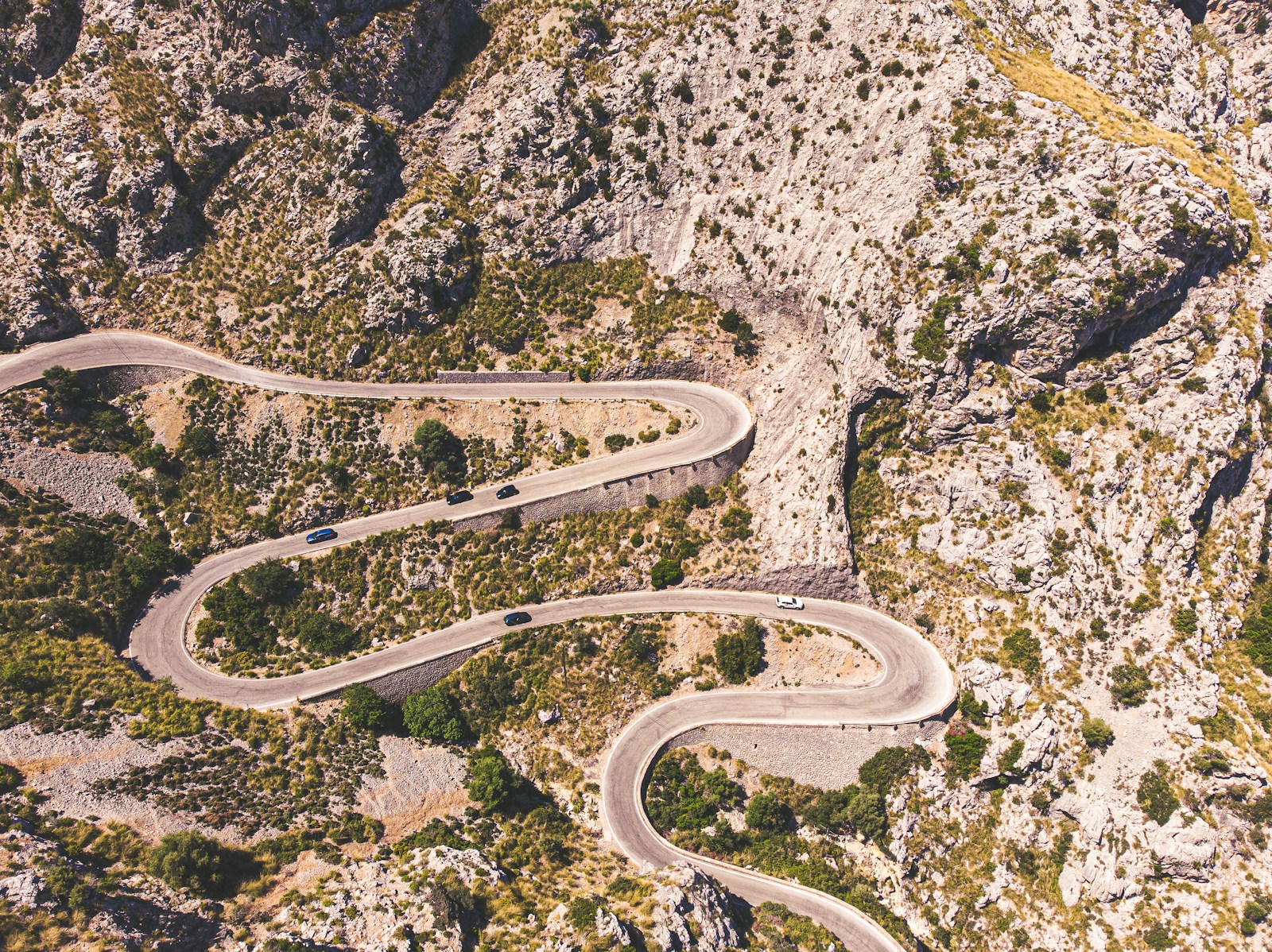
10 climbs · Tramuntana passes and the hilltop sanctuaries of Bonany, Cura and Sant Salvador.
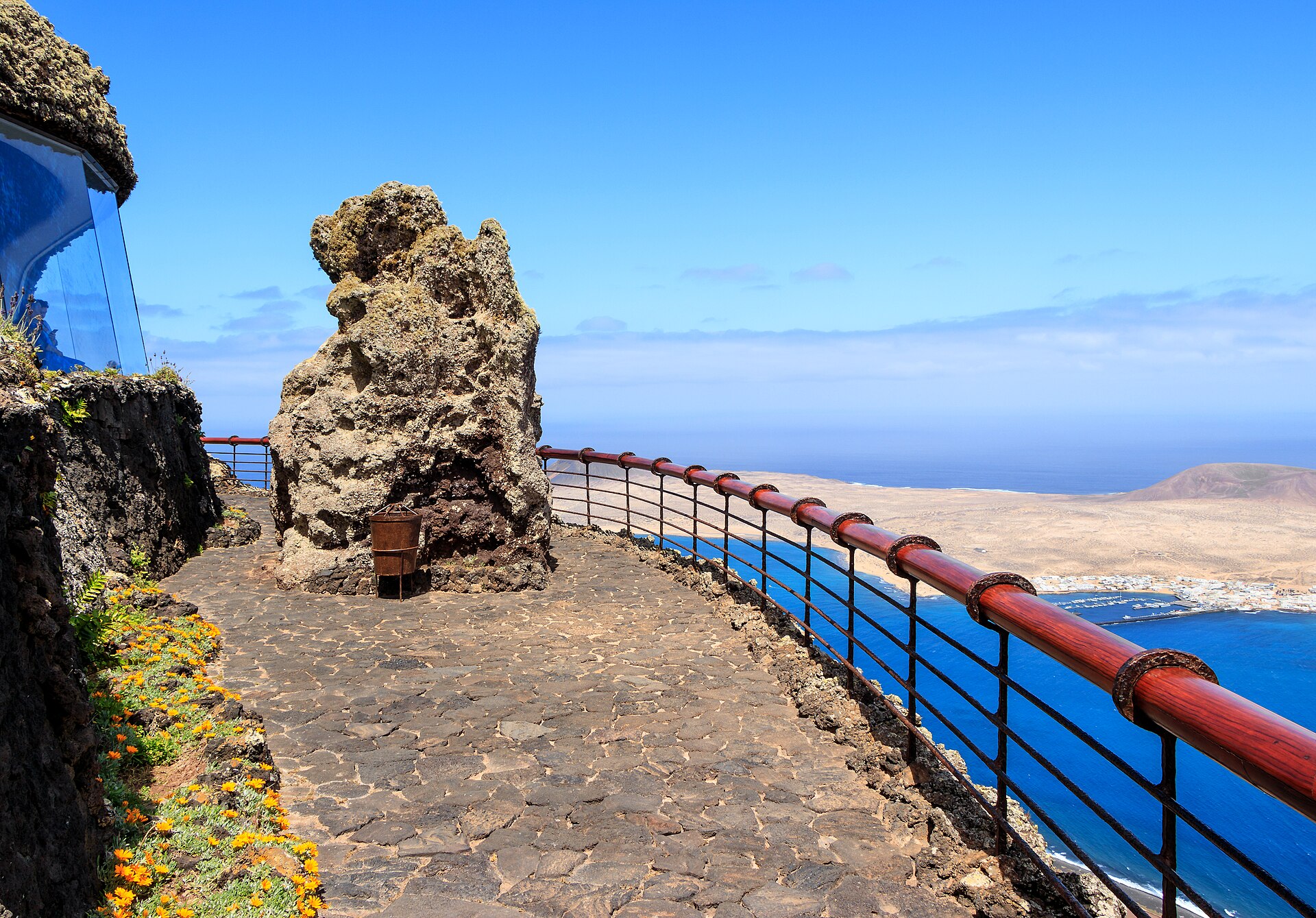
5 climbs · Northern coastal climbs, the Tabayesco bends and alternative roads through Haría.