HC
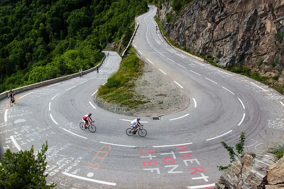
Alpe d'Huez
France · Le Bourg-d'Oisans via Tour de France
13.9 km↑ 1121 m8.0%
EffortSignal Climbs is a free Climbfinder alternative for cyclists who want to explore climbs and review their own ascents. Browse the catalogue without an account or a monthly climb-viewing limit. Open a route to study its elevation and gradients before you ride.
France · Le Bourg-d'Oisans via Tour de France
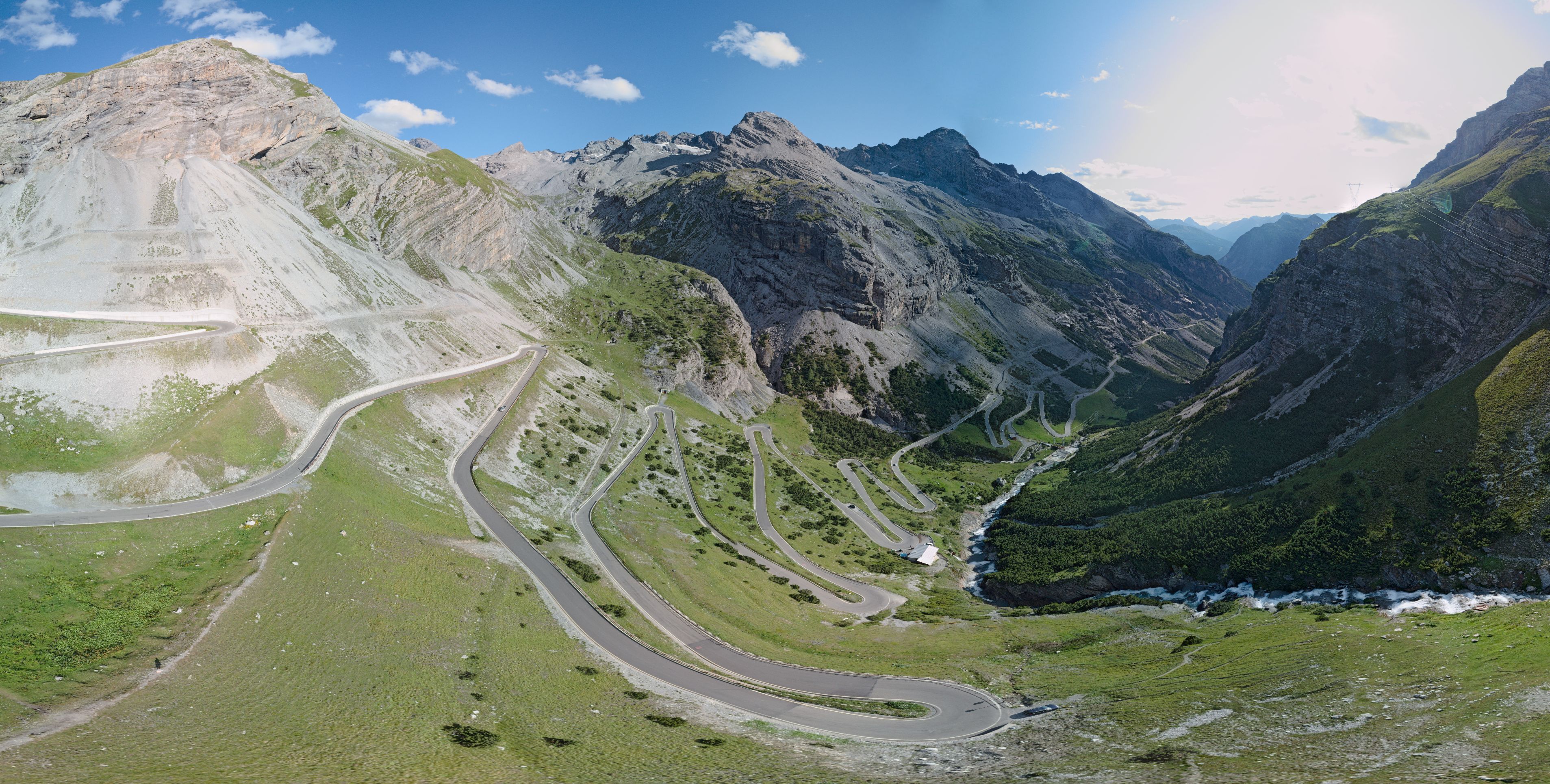
Italy · Bormio
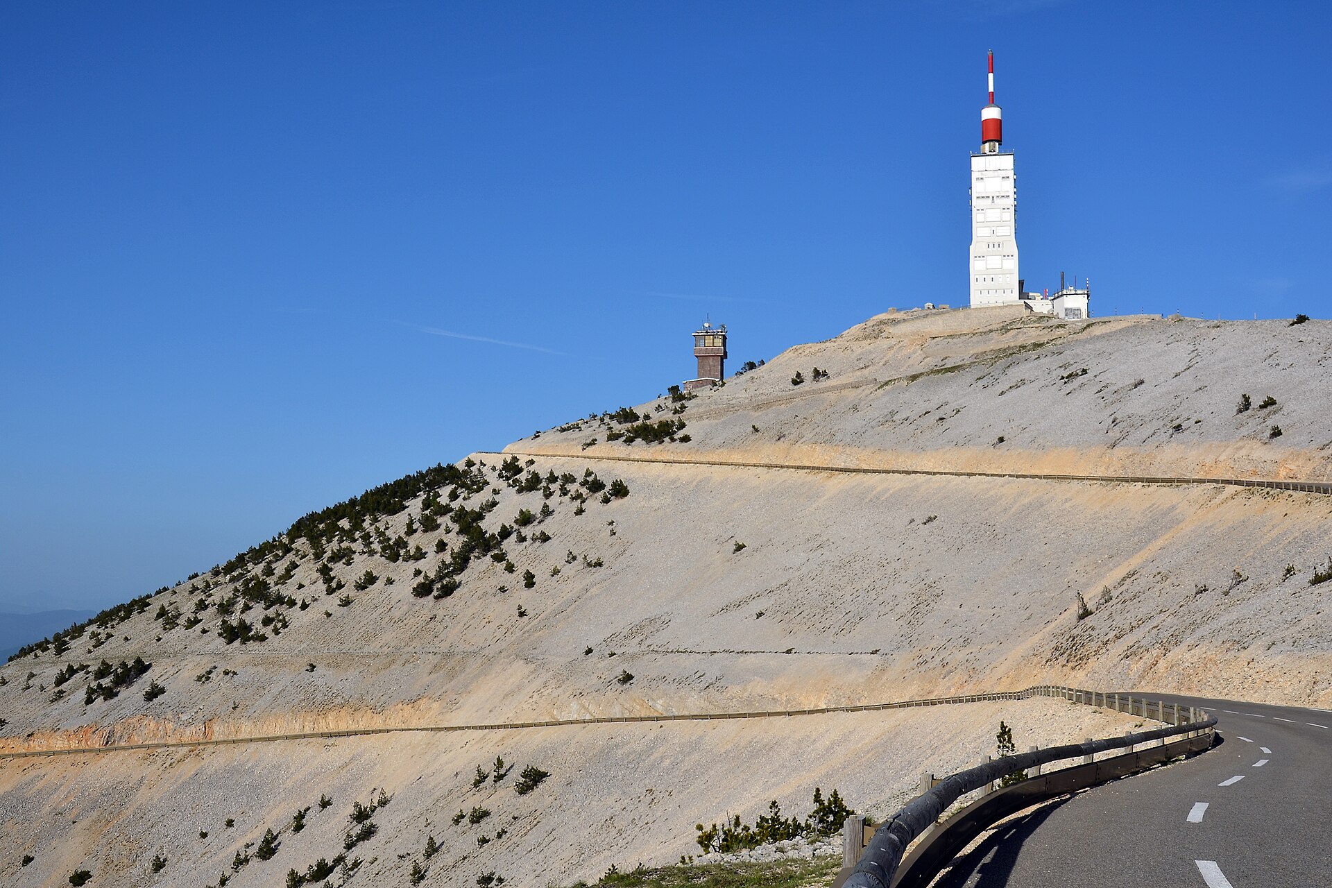
France · Bedoin
Catalogue photographs: Alpe d’Huez by Robbie Shade (CC BY 2.0), Stelvio from Bormio by Philip Pikart (CC BY-SA 4.0), Mont Ventoux by BlueBreezeWiki (CC BY-SA 3.0). Cropped within the catalogue cards.
Climbfinder also has a free account. Its current Premium page lists 20 climb discoveries per month, analysis of 25 rides and paid access to detailed climb analysis. The comparison below focuses on what you can use in EffortSignal without a subscription.
| Your task | EffortSignal Climbs | Climbfinder |
|---|---|---|
| Explore the climb catalogue | Free public browsing, with no monthly viewing limit. | The free account lists 20 climbs per month; Premium removes that limit. |
| Study the road before riding | Free maps and interactive elevation profiles. Zoom into a section and inspect distance, ascent and gradient. | Climb discovery includes maps, elevation profiles, photos and reviews. |
| Review your own ascents | With a free account, see matched ascents, times and recorded power, heart rate and cadence. Your personal history is private. | Detailed analysis of ridden climbs requires Premium. |
| Review the rest of your training | Free activity analysis, training load, basic workout planning and manual activity comparisons in the same account. | Climbfinder focuses on climb discovery, route planning and climbing performance. |
Compare several approaches or research a cycling trip without using up a monthly allowance. Filter by country, distance, ascent and maximum gradient over 100 m. Scenery and traffic filters use available rider ratings.
The climb collections bring related ascents together, including roads from the Tour de France and Giro, the Dolomites and Tenerife. Each collection links to the specific approaches you can ride.
An average gradient can hide a difficult ramp. The elevation profile shows how the gradient changes along the climb. Select a section to see its distance, ascent and average gradient; the map follows the same selection.
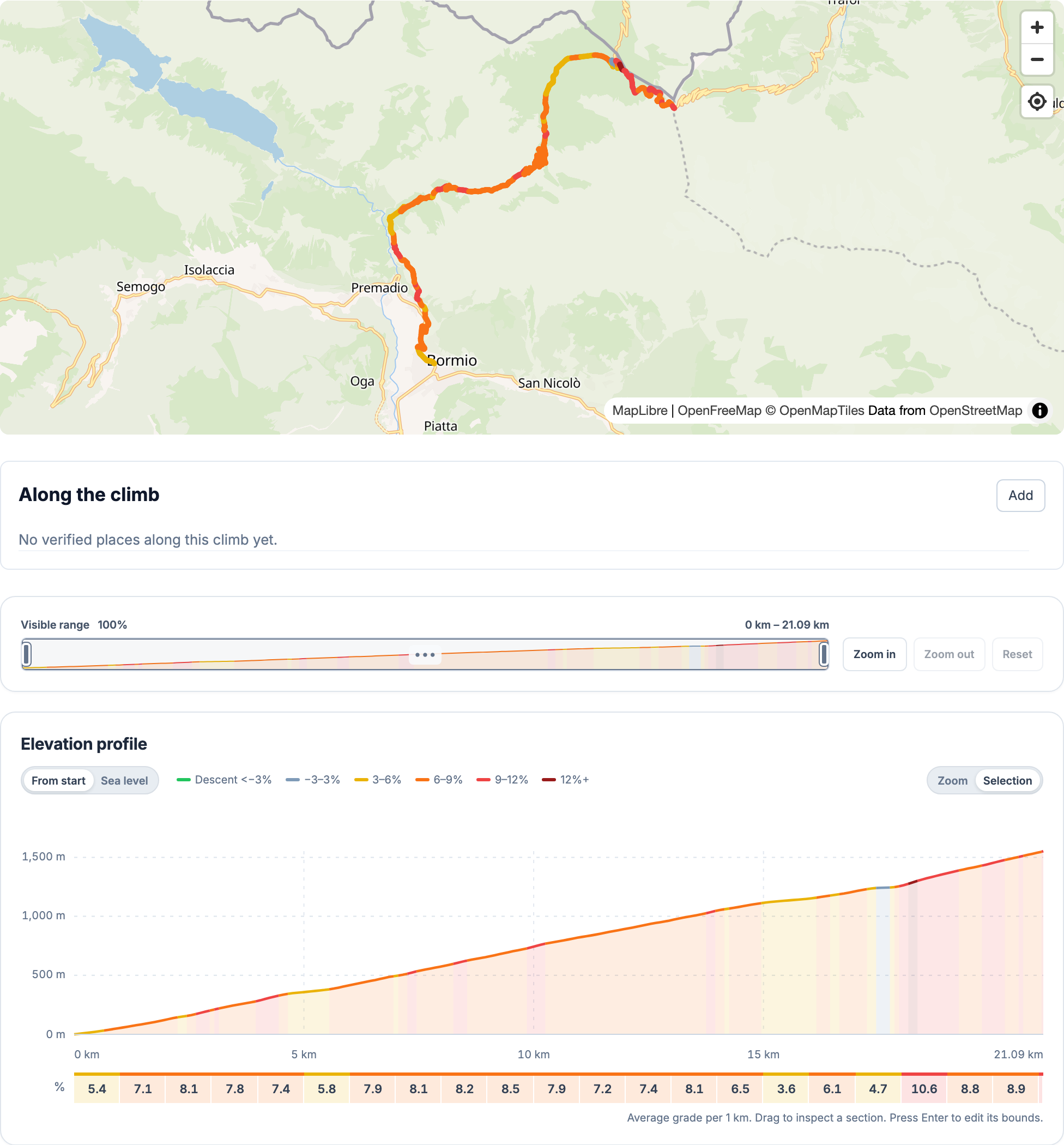
Where available, places along the route help you find water, food or a stop. Rider reviews include scenery, traffic and road quality. Availability and road conditions can change, so check them before setting out.
Sign in to see ascents matched from your imported activities, with links to the original recordings. Times include stops; sensor values appear only when they were recorded. A missing reading is not treated as zero.
For a first ascent, EffortSignal can estimate time, power and carbohydrate needs at relaxed, brisk and race efforts using your FTP and weight, plus a compatible recorded power curve when available. These are planning estimates; weather, road conditions and equipment can change the result.
Open the activity analysis to review the whole ride. Compare up to five saved activities manually on Free, or use the workout planner and calendar to prepare the next session.
Automatic similarity searches and temporary comparisons with an external FIT file require Pro. See Free and Pro plans for the current limits and Early Access terms.
Start in the public catalogue and find a familiar approach. Check the profile and rider feedback, then create a free account if you want to see your own ascents.
EffortSignal accepts FIT, TCX and GPX activity files. Climb matching needs a usable GPS recording; a planned route alone does not prove that you rode it. Sensor data in the file determines which metrics appear.
No. The catalogue, public maps, profiles and approved rider reviews are available without signing in. An account is needed for your personal ascent history and to contribute reviews or places.
No. Climbfinder offers free access with limits and a Premium subscription. Check its current plan comparison for the latest terms.
Not always. Different approaches, track sources and smoothing methods can produce different distances and gradients. EffortSignal uses 100 m smoothing for local gradient readings. Compare the same start and finish before interpreting a difference.
Prepared by EffortSignal on October 12, 2026. Climbfinder descriptions follow its official pages linked above. Its signed-in features and device transfers were not tested for this article. Free access in EffortSignal refers to the catalogue and the account features described here.
Content checked October 12, 2026 · EffortSignal release 0.5.4


