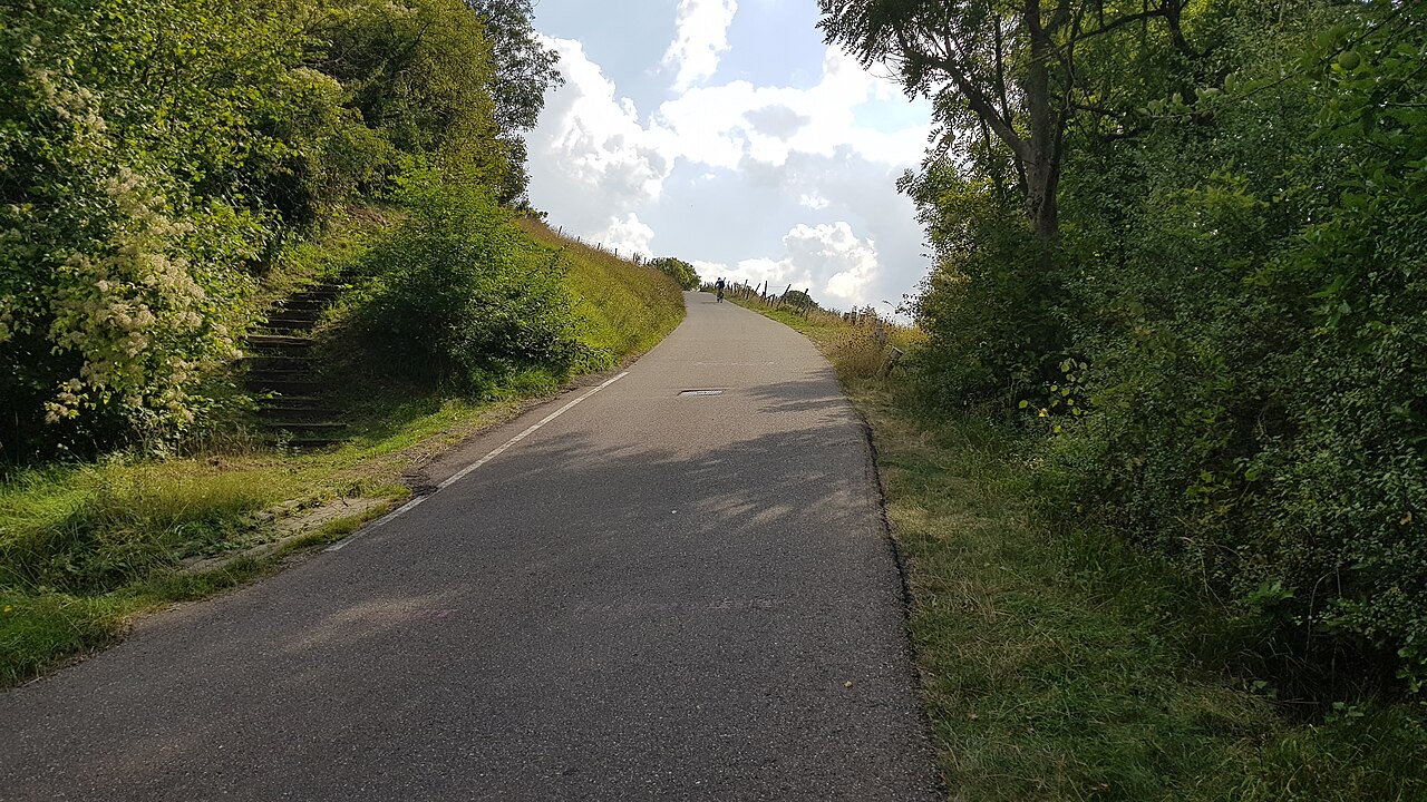
Keutenberg
😍 BeautifulLight traffic
Choose Valkenburg for a short-hill weekend around Cauberg, Keutenberg, Eyserbosweg and Gulperberg, then compare the longer Camerig climb farther southeast. These five profiles help choose the hills; the roads connecting them determine the length of your complete ride.
5 selected routes, from 0.9 km to 4.1 km, with 53 m to 179 m of elevation gain.
😍 BeautifulLight traffic
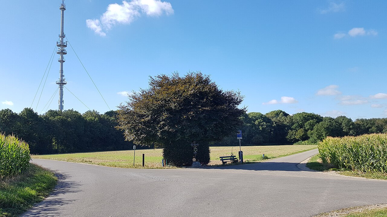
😍 BeautifulLight traffic
| Climb and approach | Distance | Elevation gain | Average gradient |
|---|---|---|---|
| Cauberg 😍 BeautifulLight traffic | 1.2 km | 66 m | 5.5% |
| Keutenberg 😍 BeautifulLight traffic | 1.6 km | 88 m | 5.4% |
| Eyserbosweg 😍 BeautifulLight traffic | 1.1 km | 85 m | 8.0% |
| Gulperberg from Gulpen 😍 BeautifulLight traffic | 0.9 km | 53 m | 5.8% |
| Camerig 😍 BeautifulLight traffic | 4.1 km | 179 m | 3.9% |
Valkenburg puts Cauberg close to town. Keutenberg lies near Schin op Geul, Eyserbosweg is at Eys and the selected Gulperberg starts in Gulpen. Camerig lies farther southeast. Plan connecting roads between those places rather than treating the sum of the climb distances as a complete ride.
These climbs are much shorter than the Alpine selections. You could explore Cauberg and Keutenberg on one outing, then Eyserbosweg and Gulperberg on another. A longer stay leaves time for other roads around Valkenburg; four short segments alone would not make a full week’s itinerary.
The Gulpen approach listed here differs from the steep ascent out of Partij. Compare the route name and profile before following another guide’s gradient figures. As with the other climbs, an average across the full recorded segment smooths out the steepest ramps.
Camerig adds a more sustained ascent than the short ramps around Valkenburg. It sits farther southeast in the hill country, so include the ride out and back when combining it with Eyserbosweg or Gulperberg. Keep the existing two-outing idea flexible rather than treating five segments as five full riding days.
Average gradient describes the recorded route as a whole. Open a climb to see its elevation profile and how the gradient changes along the road.
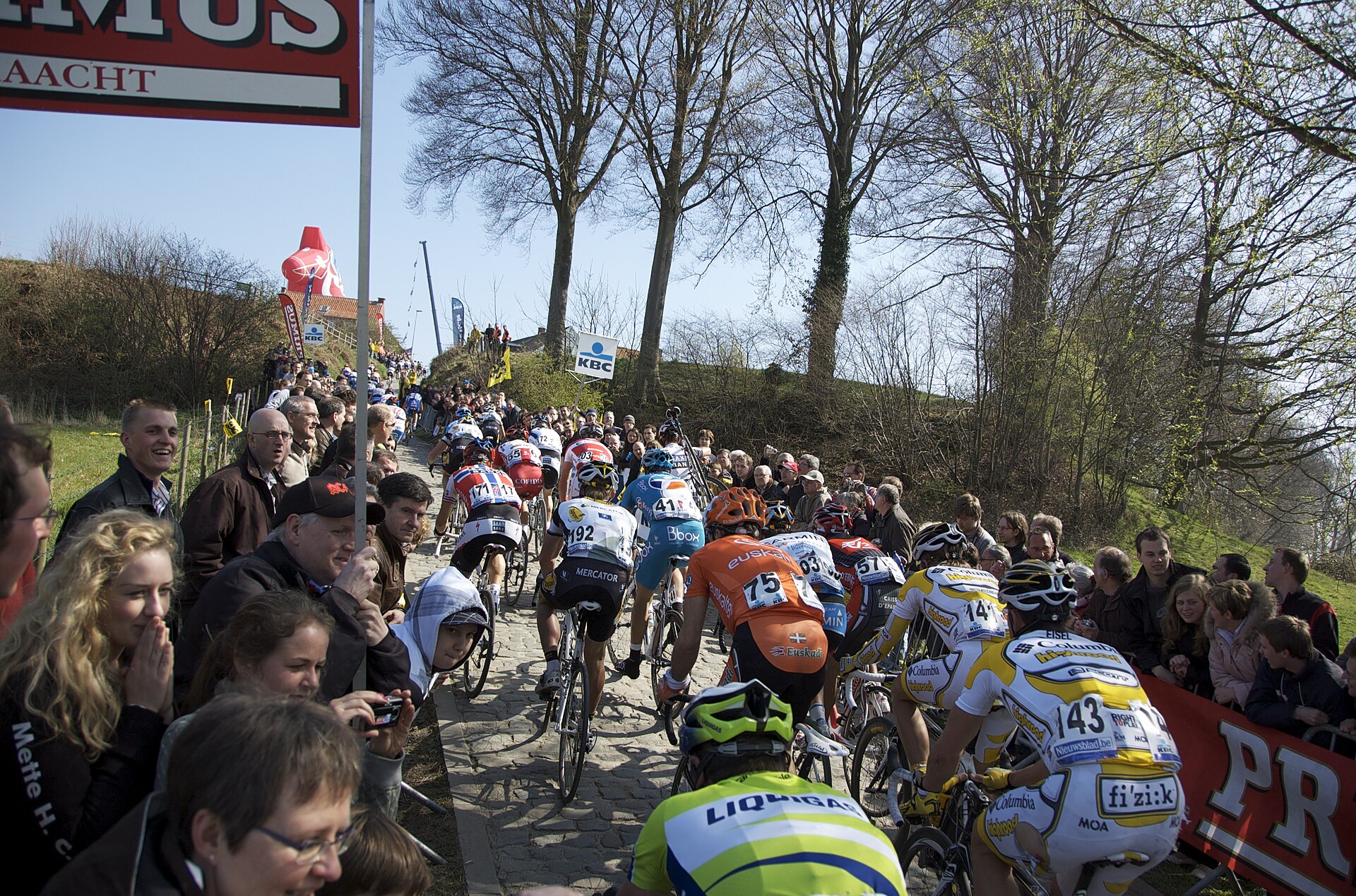
6 climbs · Cobbled climbs around Oudenaarde, plus the historic Muur and Bosberg pairing.
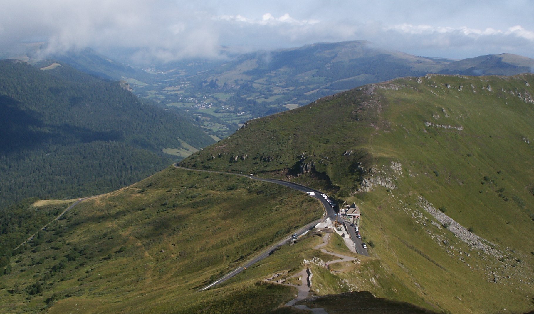
6 climbs · Three roads to Pas de Peyrol, both sides of Pertus and the climb to Col de Serre.
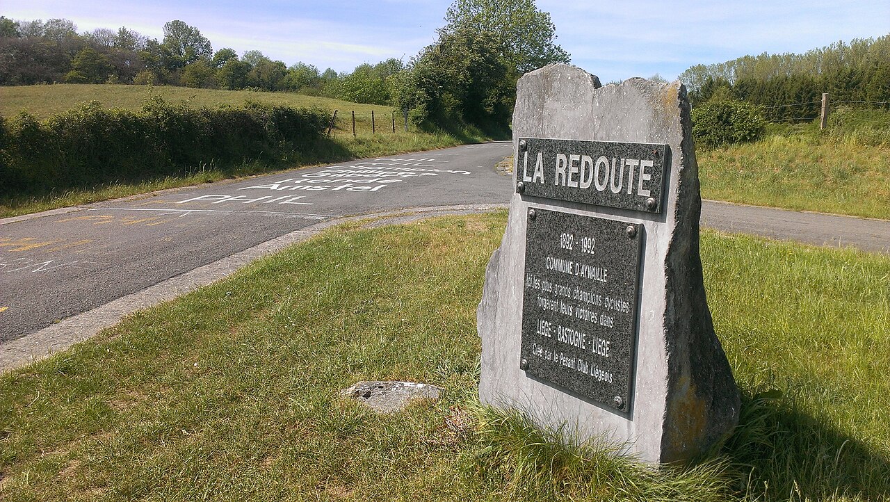
5 climbs · Liège classics: Redoute and Roche-aux-Faucons, plus Stockeu, Wanne and Rosier.