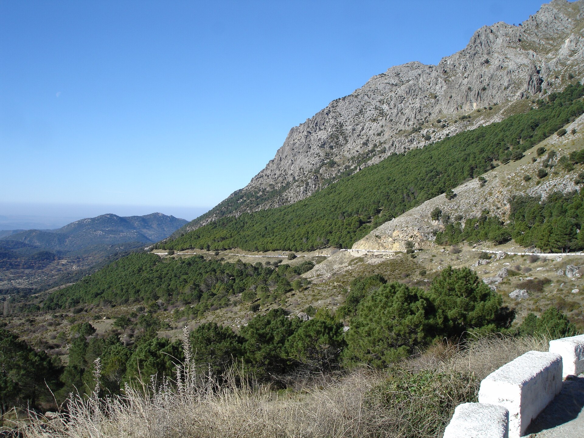
Puerto del Boyar from El Bosque
😍 BeautifulLight traffic
Two mountain passes give four different approaches in the Sierra de Grazalema. Compare the long climb from Zahara de la Sierra with the shorter Grazalema side of Las Palomas, then choose the El Bosque or Río Guadalete approach to El Boyar.
4 selected routes, from 3.2 km to 15.2 km, with 209 m to 873 m of elevation gain.
😍 BeautifulLight traffic
😍 BeautifulLight traffic
| Climb and approach | Distance | Elevation gain | Average gradient |
|---|---|---|---|
| Puerto de las Palomas from Zahara de la Sierra 😍 BeautifulLight traffic | 12.3 km | 810 m | 6.6% |
| Puerto de las Palomas from Grazalema 😍 BeautifulLight traffic | 3.2 km | 209 m | 6.5% |
| Puerto del Boyar from El Bosque 😍 BeautifulLight traffic | 15.2 km | 873 m | 5.5% |
| Puerto del Boyar from Río Guadalete 😍 BeautifulLight traffic | 6.2 km | 368 m | 5.8% |
The Zahara approach climbs from the reservoir side; the Grazalema start is already much higher in the mountains. Their distances describe different ascents to the same pass. A shorter profile from Grazalema does not include the effort needed to reach the village from another base.
The El Bosque profile approaches Boyar through the western side of the park. The Río Guadalete profile starts closer to the pass on the other side. A loop linking Boyar and Palomas needs the connecting roads and descents as well. The local Bike Challenge uses these passes, but these four rows do not reproduce its course.
Average gradient describes the recorded route as a whole. Open a climb to see its elevation profile and how the gradient changes along the road.
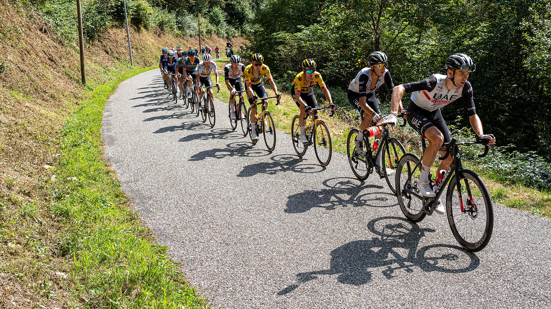
8 climbs · Asturian summit roads, Bola del Mundo near Madrid and Hazallanas in Sierra Nevada.
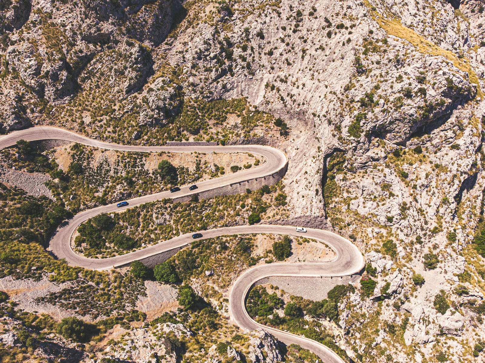
10 climbs · Tramuntana passes and the hilltop sanctuaries of Bonany, Cura and Sant Salvador.
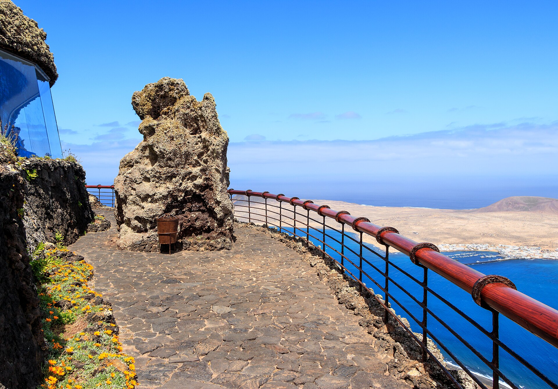
5 climbs · Northern coastal climbs, the Tabayesco bends and alternative roads through Haría.