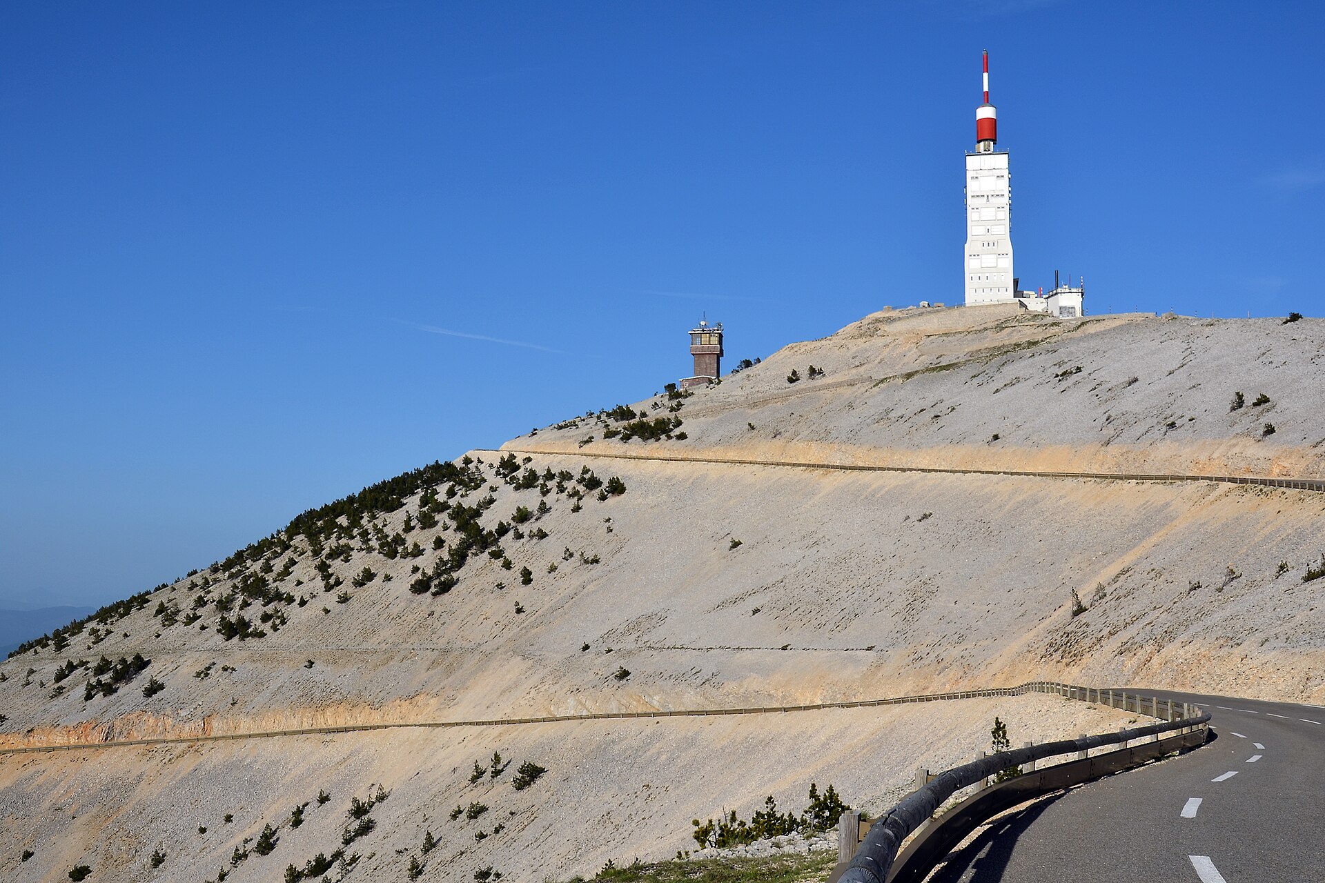
Mont Ventoux from Bedoin
😍 BeautifulLight traffic
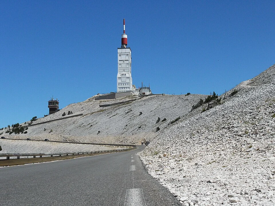
Choose between two sustained summit climbs on Mont Ventoux and different roads through the surrounding Vaucluse. Bédoin and Malaucène reach the same summit; Gorges de la Nesque and Col de la Liguière give this four-route selection a different shape.
4 selected routes, from 9.1 km to 20.9 km, with 421 m to 1,592 m of elevation gain.
😍 BeautifulLight traffic
😍 BeautifulLight traffic
😍 BeautifulLight traffic
| Climb and approach | Distance | Elevation gain | Average gradient |
|---|---|---|---|
| Mont Ventoux from Bedoin 😍 BeautifulLight traffic | 20.7 km | 1,592 m | 7.7% |
| Mont Ventoux from Malaucène 😍 BeautifulLight traffic | 20.9 km | 1,575 m | 7.5% |
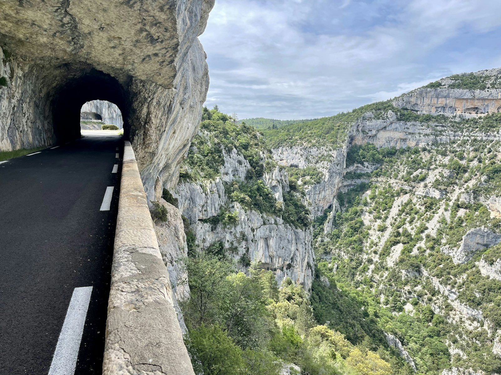
| Gorges de la Nesque from Villes-sur-Auzon 😍 BeautifulLight traffic | 18.2 km | 421 m | 2.3% |
| Col de la Liguiere from Saint-Saturnin-lès-Apt 😍 BeautifulLight traffic | 9.1 km | 601 m | 6.6% |
Bédoin is the classic southern approach; Malaucène climbs from the northwestern side. Compare their individual profiles rather than choosing by distance alone. Both return you to a high, exposed summit, where wind and road closures can change the day. Check local opening information before setting out.
The Nesque route starts in Villes-sur-Auzon and follows the gorge towards Monieux. Liguière starts farther south in Saint-Saturnin-lès-Apt. These are separate outings, not extra sections of the Ventoux ascent. The park also describes a third summit approach from Sault; the comparison here contains the two summit profiles linked below.
Average gradient describes the recorded route as a whole. Open a climb to see its elevation profile and how the gradient changes along the road.
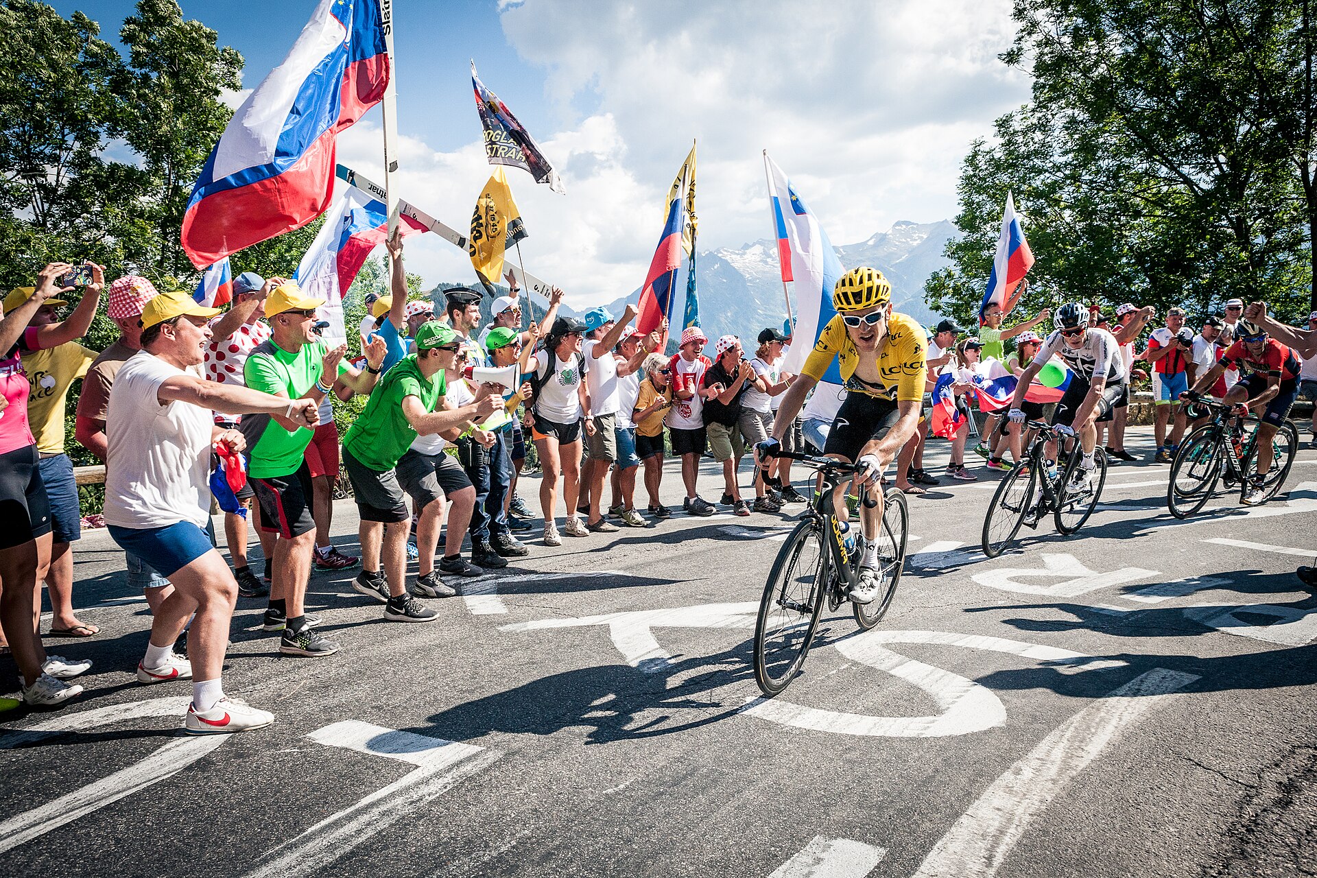
11 climbs · Alpine and Pyrenean classics, Ventoux and two contrasting Vosges climbs.
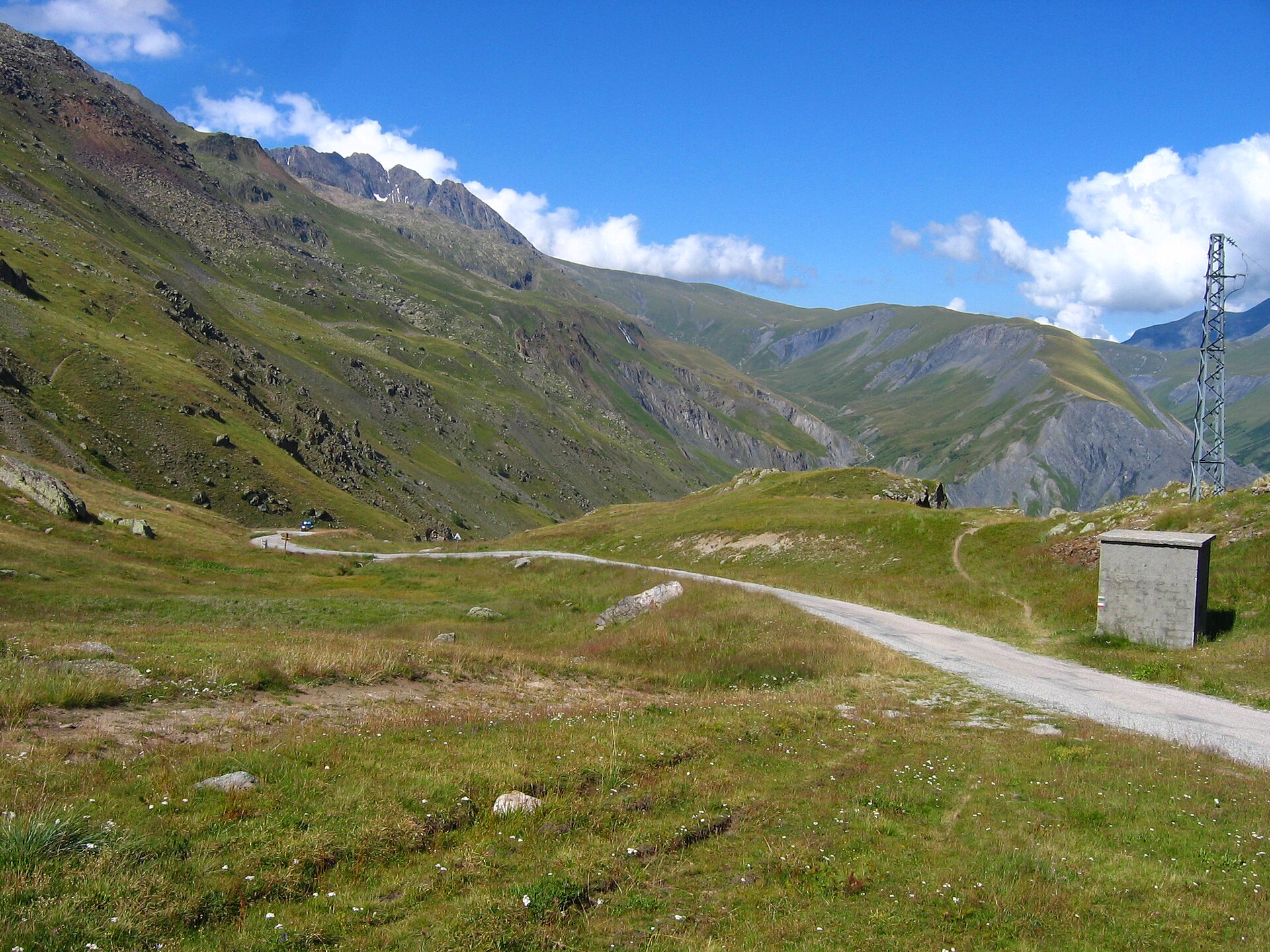
5 climbs · Alpe d’Huez, Glandon, Ornon, Sarenne and the long road towards Lautaret.
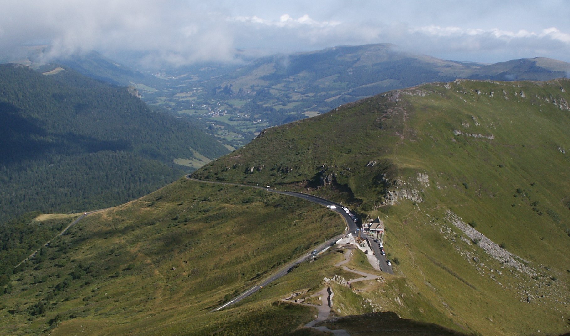
6 climbs · Three roads to Pas de Peyrol, both sides of Pertus and the climb to Col de Serre.